Image Number
114089218

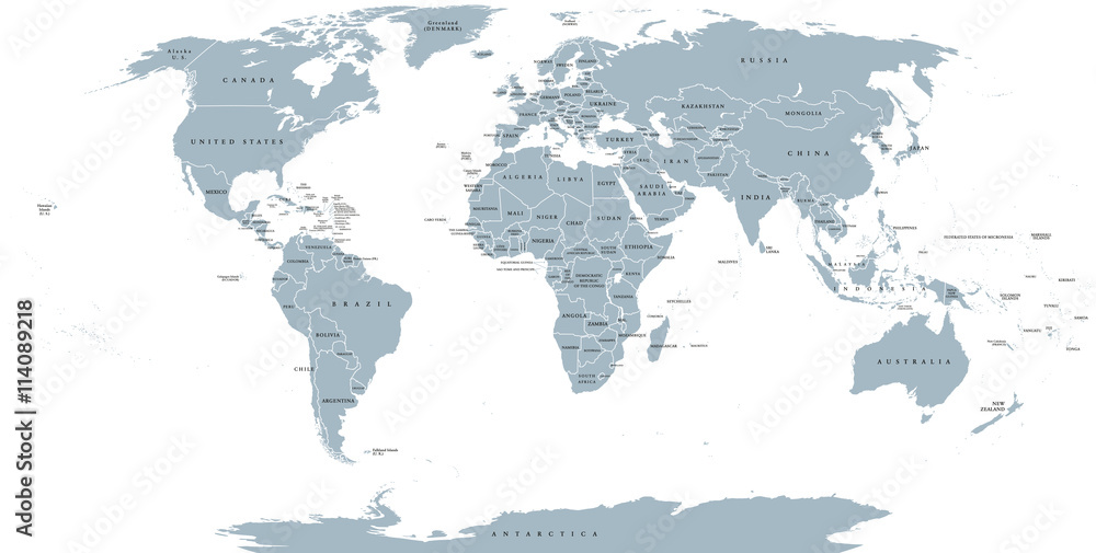
World political map. Detailed map of the world with shorelines, national borders and country names. Robinson projection, english labeling, grey illustration on white background.
Author :
Peter Hermes Furian
Please note that Adobe's watermark will not appear once printed.
Muraledesign.com cannot guarantee that the color of your canvas, as shown on your screen, will be identical to the final printed colors. Color display varies from one screen to another.

